Welcome to EstesParkWeather.net - Bringing you the best in local weather for Estes Park, Colorado.
1/11/26 - Thank you for all of your donations! Due to the very generous response I will be targeting additional donations towards upgrading the website design so that it is compatible with mobile/ smartphone devices and current website standards! I have begun the redesign work with the website developers.
Estes Park Weather Forecast - This Afternoon's Outlook
This Afternoon Sunny
Hi 69 °F
NWS forecast: This Afternoon, Sunny. High near 69, with temperatures falling to around 67 in the afternoon. West wind 13 to 16 mph, with gusts as high as 25 mph. Davis VP+ forecast: mostly cloudy and cooler, precipitation possible within 12 hours, possibly heavy at times, windy.
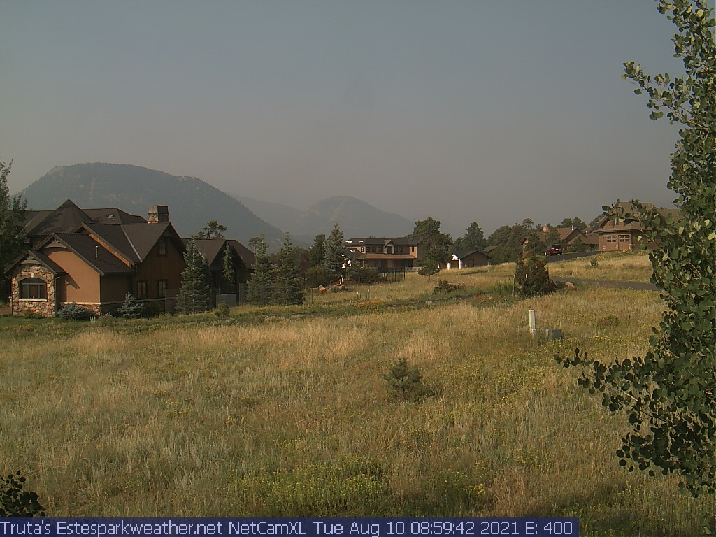
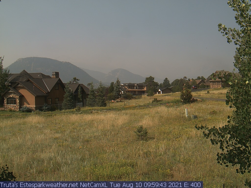
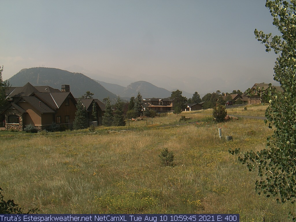
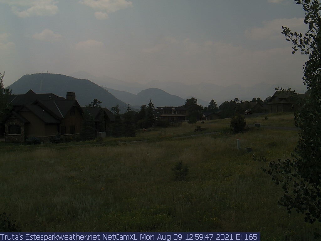
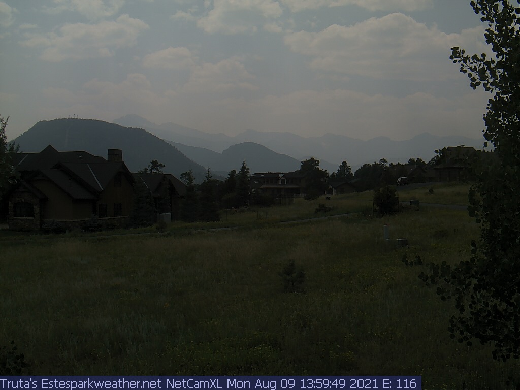
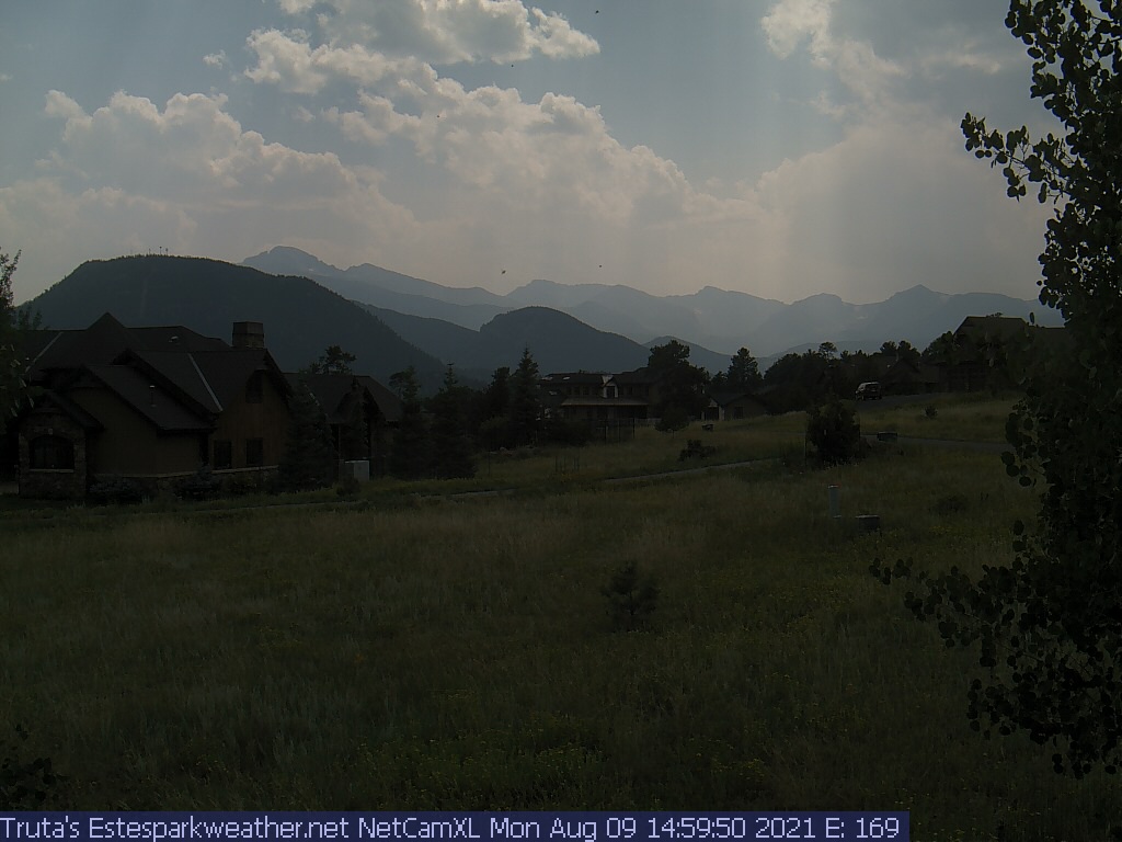
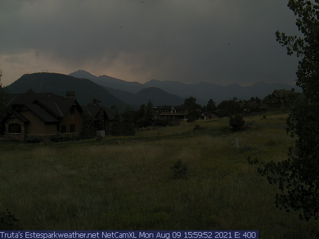
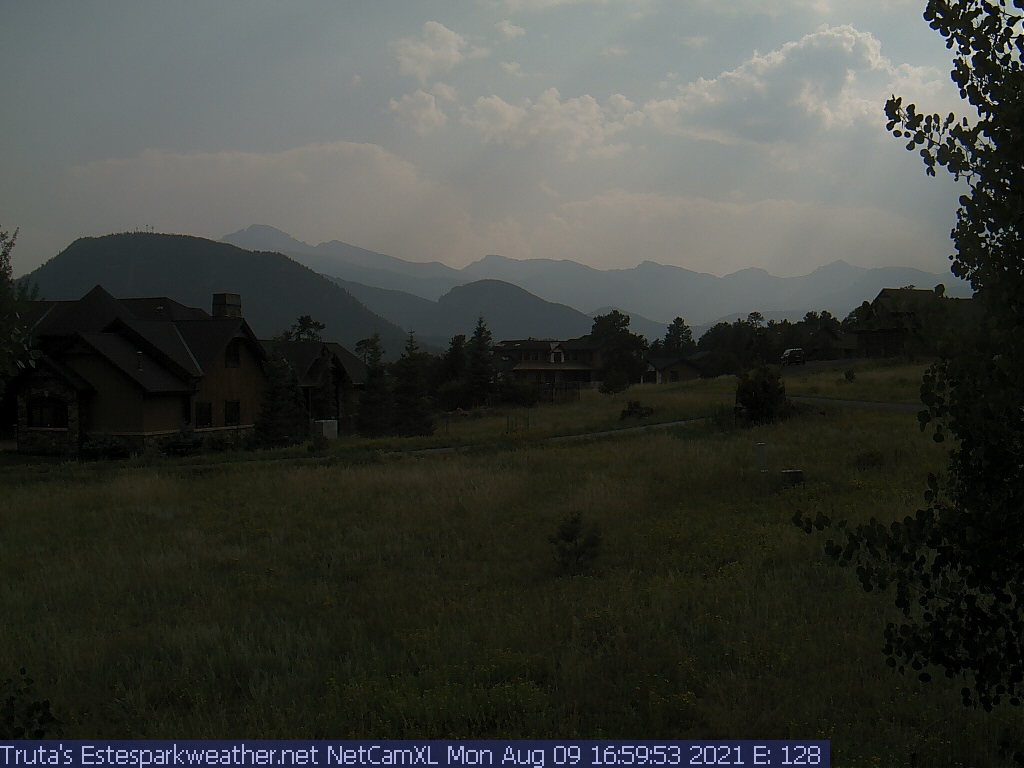
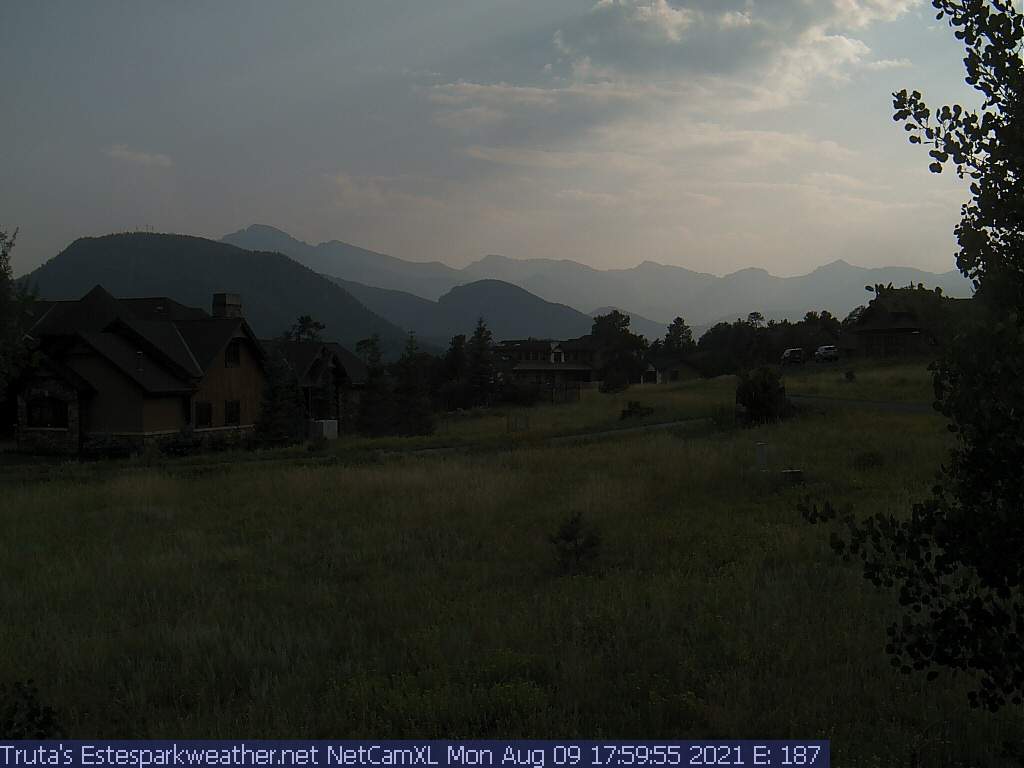
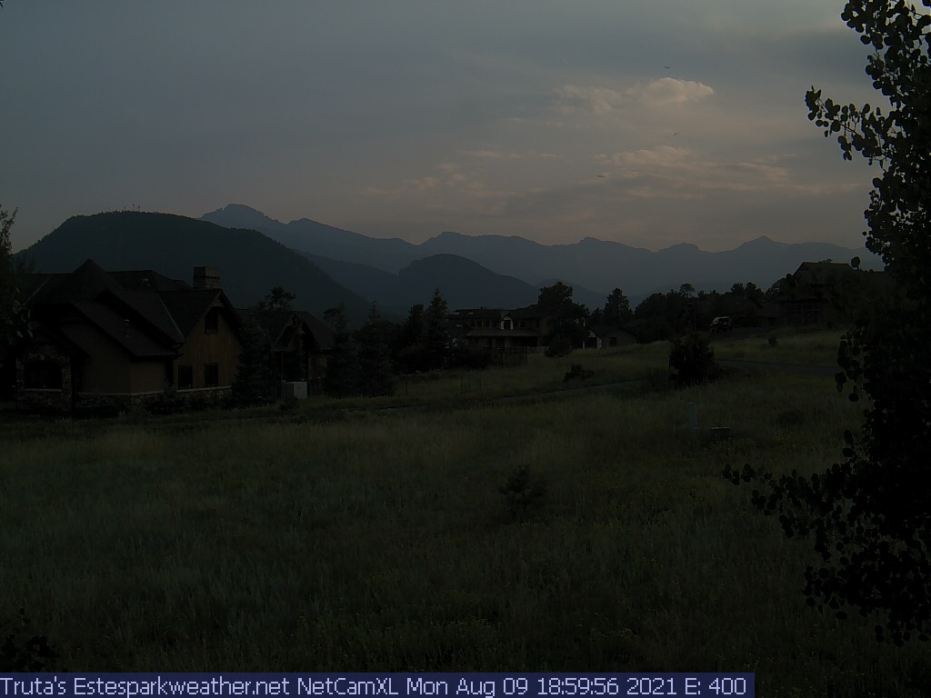
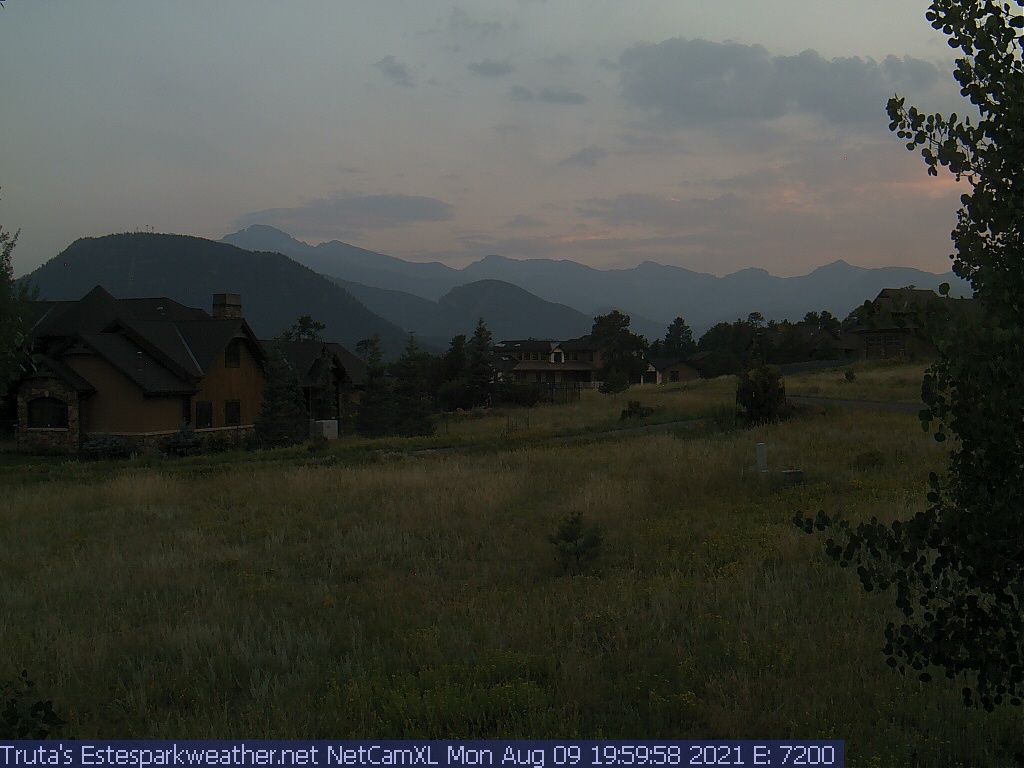
Estes Park Webcam - Estes Park, Colorado - Time-Lapse slideshow
Click on the webcam image to view full-size.
Weather Forecast
National Weather Service Forecast for: Estes Park, CO
Issued by: National Weather Service Denver/Boulder, CO
Updated: Sun, 31-May-2026 12:46pm MDT
This Afternoon Sunny
Tonight
Mostly Clear
Monday
Mostly Sunny then Chance Showers And T-Storms
Monday Night Partly Cloudy
Tuesday
Mostly Sunny then Chance Showers And T-Storms
Tuesday Night Slight Chance Showers And T-Storms then Mostly Cloudy
Wednesday
Partly Sunny then Showers And T-Storms Likely
Wednesday Night Chance Showers And T-Storms then Partly Cloudy
Thursday
Partly Sunny then Chance Showers And T-Storms
Hi 69 °F
Lo 42 °F
Hi 70 °F
Lo 44 °F
Hi 75 °F
Lo 46 °F
Hi 75 °F
Lo 46 °F
Hi 76 °F
This Afternoon
Sunny. High near 69, with temperatures falling to around 67 in the afternoon. West wind 13 to 16 mph, with gusts as high as 25 mph.
Tonight
Mostly clear. Low around 42, with temperatures rising to around 45 overnight. West southwest wind 2 to 13 mph, with gusts as high as 21 mph.
Monday
A chance of showers and thunderstorms between noon and 3pm, then a chance of showers and thunderstorms. Mostly sunny, with a high near 70. South southeast wind 2 to 10 mph, with gusts as high as 16 mph. Chance of precipitation is 40%.
Monday Night
Partly cloudy, with a low around 44. South wind 1 to 7 mph.
Tuesday
A chance of showers and thunderstorms after noon. Mostly sunny, with a high near 75. South southeast wind 2 to 7 mph, with gusts as high as 20 mph. Chance of precipitation is 50%.
Tuesday Night
A slight chance of showers and thunderstorms before midnight. Mostly cloudy, with a low around 46. Chance of precipitation is 20%.
Wednesday
Showers and thunderstorms likely after noon. Partly sunny, with a high near 75.
Wednesday Night
A chance of showers and thunderstorms before midnight. Partly cloudy, with a low around 46.
Thursday
A chance of showers and thunderstorms after noon. Partly sunny, with a high near 76.
Thursday Night
A slight chance of showers and thunderstorms before midnight. Partly cloudy, with a low around 46.
Friday
A slight chance of showers and thunderstorms after noon. Mostly sunny, with a high near 77.
Friday Night
Partly cloudy, with a low around 49.
Saturday
A slight chance of showers and thunderstorms after noon. Mostly sunny, with a high near 78.
Saturday Night
Partly cloudy, with a low around 48.
Do you enjoy using this website regularly? Please consider a small donation to help offset the operational costs of running this website. Thank you! Greg Truta
Interested in advertising your small business on EstesParkWeather ? Contact me for more information:
This page is updated by Weather Display V10.37S and WeatherLink V
With JavaScript enabled, some conditions are updated at 5 second intervals. The next full page conditions update is scheduled for 5:10pm. Thanks to Ken True at Saratoga-Weather.org for the general layout ideas, and his use of AJAX technologies.
Quote from the patron saint of the webmaster, St. Alphonsus Liguori : "My Jesus, Thou alone art sufficient for me. My love, do not permit me to separate myself from Thee. When shall I be able to say, 'My God, I cannot lose thee any more?' "

 No alerts





 Donate