Welcome to EstesParkWeather.net - Bringing you the best in local weather for Estes Park, Colorado.
1/11/26 - Thank you for all of your donations! Due to the very generous response I will be targeting additional donations towards upgrading the website design so that it is compatible with mobile/ smartphone devices and current website standards! I have begun the redesign work with the website developers.
NWS forecast: Today, A chance of showers and thunderstorms between noon and 3pm, then showers and thunderstorms likely. Mostly cloudy. High near 63, with temperatures falling to around 61 in the afternoon. Southeast wind 1 to 7 mph. Chance of precipitation is 60%. New rainfall amounts less than a tenth of an inch possible. Davis VP+ forecast: increasing clouds with little temp change.
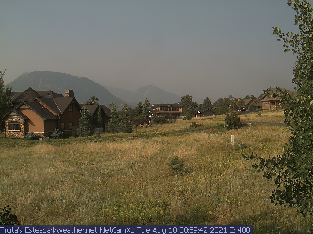
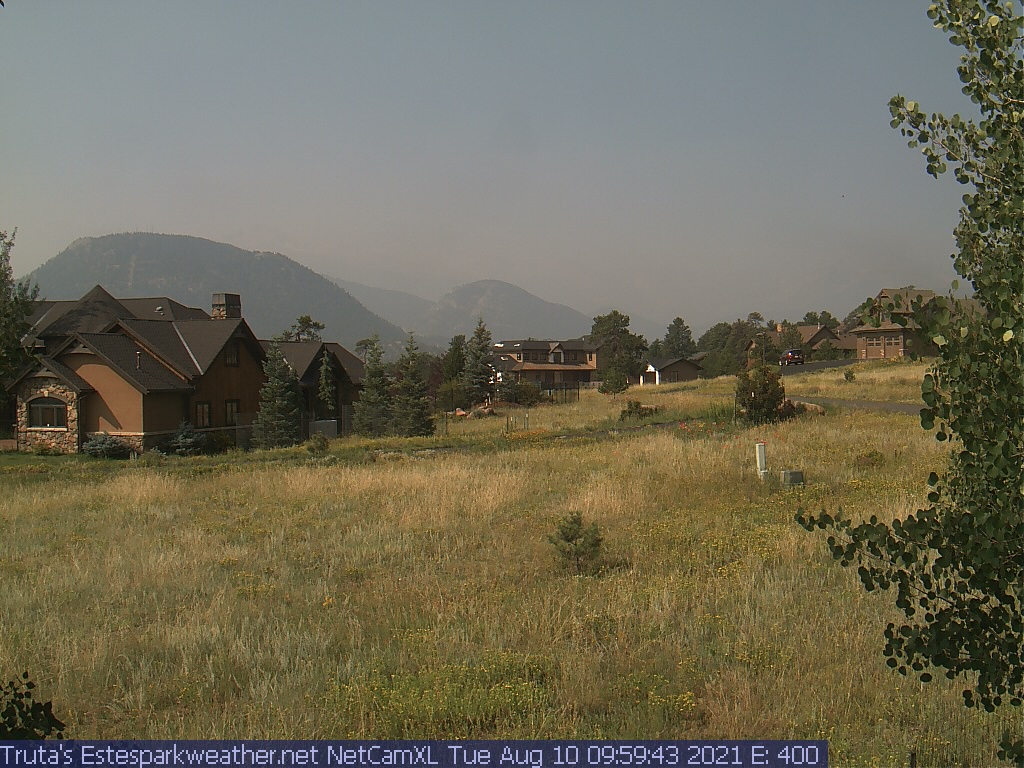
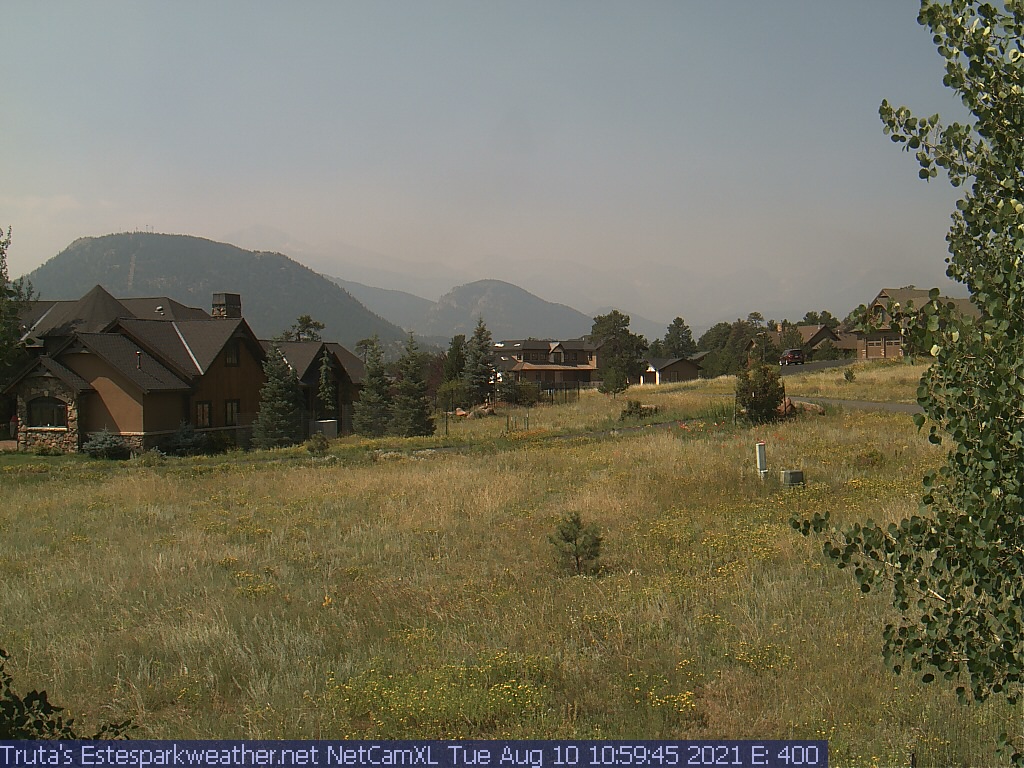
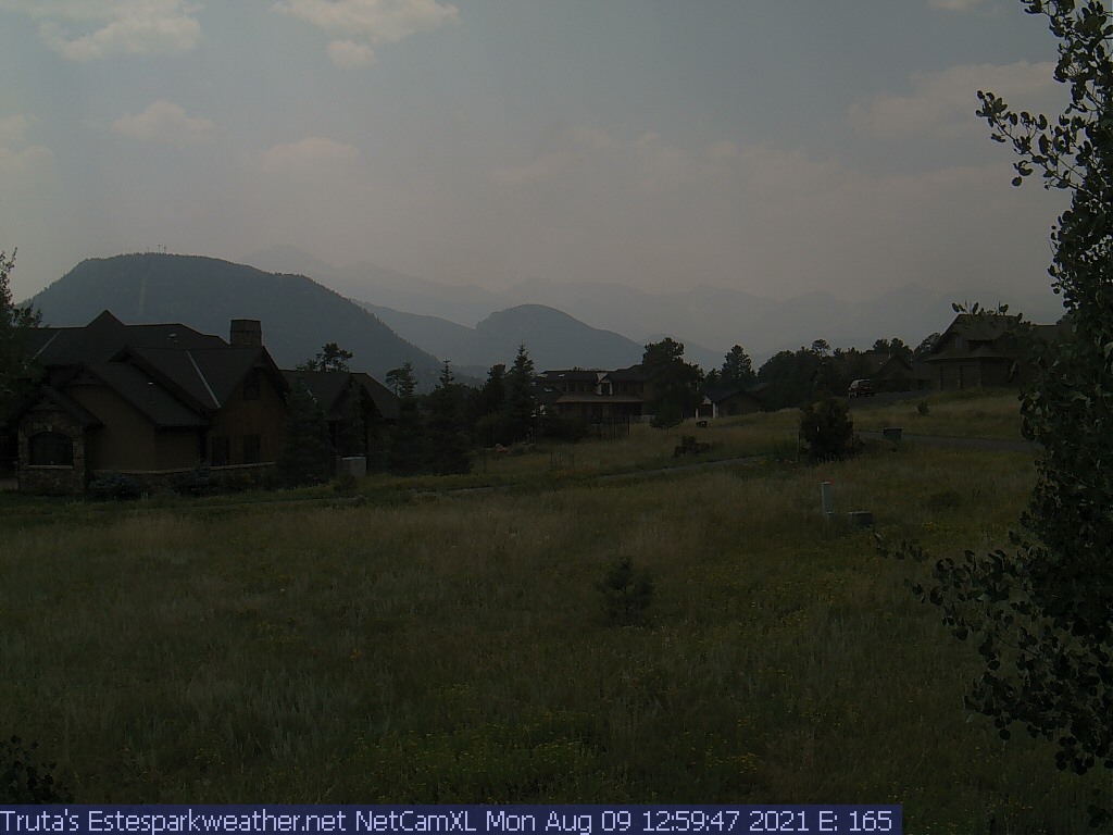
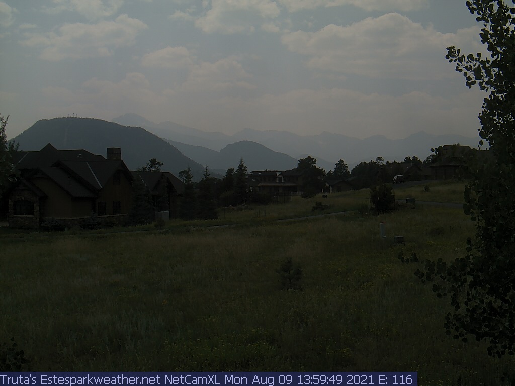
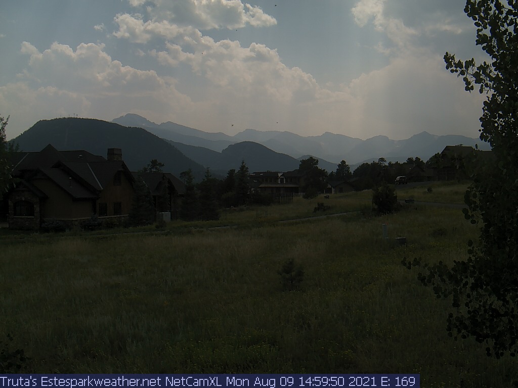
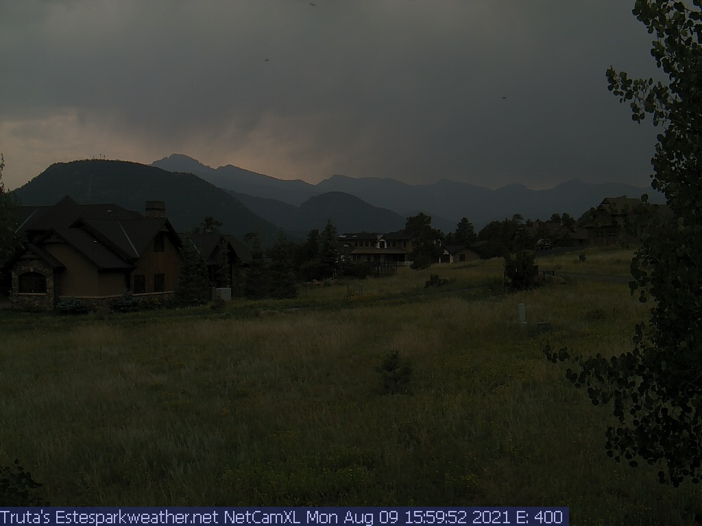
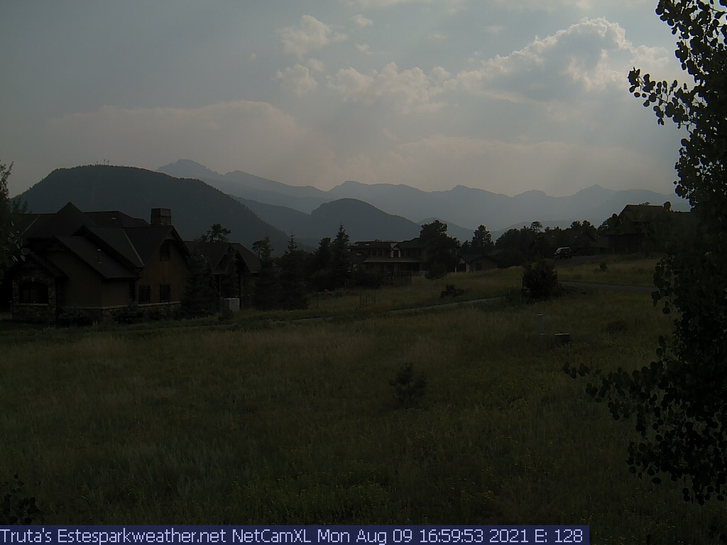
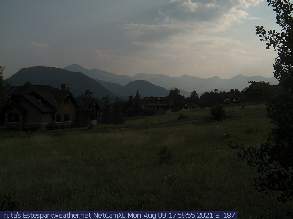
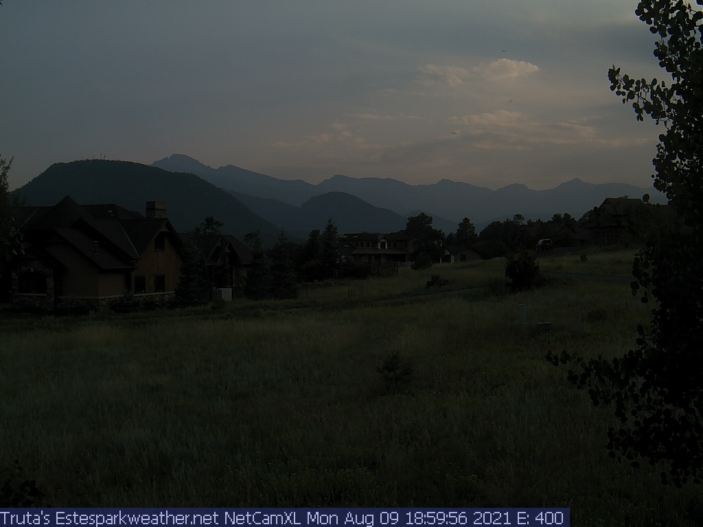
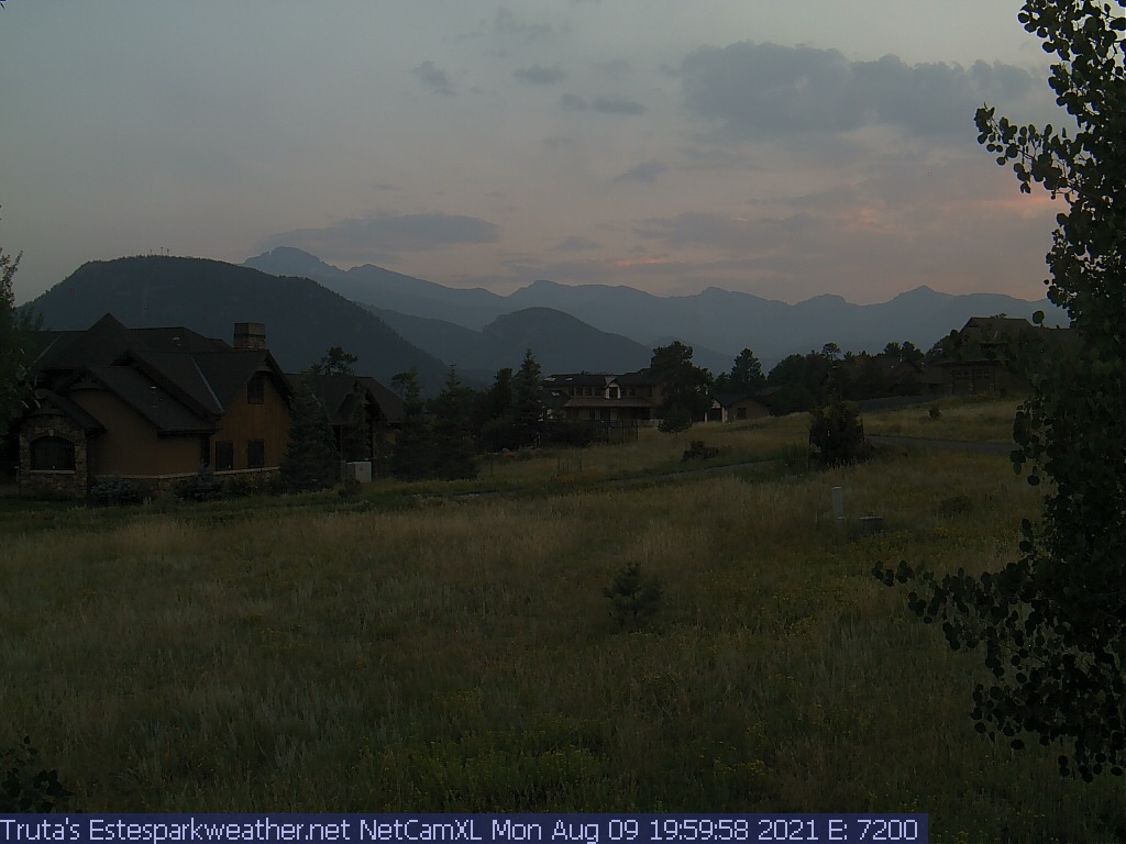
Estes Park Webcam - Estes Park, Colorado - Time-Lapse slideshow
Click on the webcam image to view full-size.
Weather Forecast
National Weather Service Forecast for: Estes Park, CO
Issued by: National Weather Service Denver/Boulder, CO
Updated: Thu, 28-May-2026 2:26am MDT
Today
Mostly Cloudy then Chance Showers And T-Storms
Tonight
Chance Showers And T-Storms then Mostly Cloudy
Friday
Mostly Cloudy then Chance Showers And T-Storms
Friday Night Chance Showers And T-Storms then Partly Cloudy
Saturday
Chance Showers And T-Storms
Saturday Night Mostly Clear
Sunday
Mostly Sunny then Chance Showers And T-Storms
Sunday Night Partly Cloudy
Monday
Mostly Sunny then Chance Showers And T-Storms
Hi 63 °F
Lo 47 °F
Hi 71 °F
Lo 44 °F
Hi 66 °F
Lo 43 °F
Hi 70 °F
Lo 42 °F
Hi 69 °F
Today
A chance of showers and thunderstorms between noon and 3pm, then showers and thunderstorms likely. Mostly cloudy. High near 63, with temperatures falling to around 61 in the afternoon. Southeast wind 1 to 7 mph. Chance of precipitation is 60%. New rainfall amounts less than a tenth of an inch possible.
Tonight
A chance of showers and thunderstorms before midnight. Mostly cloudy. Low around 47, with temperatures rising to around 51 overnight. South southwest wind 2 to 6 mph. Chance of precipitation is 30%. New rainfall amounts less than a tenth of an inch possible.
Friday
A chance of showers and thunderstorms after noon. Mostly cloudy. High near 71, with temperatures falling to around 66 in the afternoon. South wind 3 to 7 mph. Chance of precipitation is 50%.
Friday Night
A chance of showers and thunderstorms before midnight. Partly cloudy, with a low around 44. South southwest wind 1 to 6 mph. Chance of precipitation is 50%.
Saturday
A slight chance of rain showers before noon, then a chance of showers and thunderstorms between noon and 3pm, then a chance of showers and thunderstorms. Mostly sunny, with a high near 66. West wind 7 to 12 mph, with gusts as high as 28 mph. Chance of precipitation is 30%.
Saturday Night
Mostly clear, with a low around 43.
Sunday
A chance of showers and thunderstorms after noon. Mostly sunny, with a high near 70.
Sunday Night
Partly cloudy, with a low around 42.
Monday
A chance of showers and thunderstorms after noon. Mostly sunny, with a high near 69.
Monday Night
A slight chance of showers and thunderstorms before midnight. Partly cloudy, with a low around 44.
Tuesday
A chance of showers and thunderstorms after noon. Partly sunny, with a high near 70.
Tuesday Night
A slight chance of showers and thunderstorms before midnight. Partly cloudy, with a low around 45.
Wednesday
A chance of showers and thunderstorms after noon. Mostly sunny, with a high near 72.
Wednesday Night
A slight chance of rain showers before midnight. Partly cloudy, with a low around 46.
Do you enjoy using this website regularly? Please consider a small donation to help offset the operational costs of running this website. Thank you! Greg Truta
Interested in advertising your small business on EstesParkWeather ? Contact me for more information:
This page is updated by Weather Display V10.37S and WeatherLink V
With JavaScript enabled, some conditions are updated at 5 second intervals. The next full page conditions update is scheduled for 7:30am. Thanks to Ken True at Saratoga-Weather.org for the general layout ideas, and his use of AJAX technologies.
Quote from the patron saint of the webmaster, St. Alphonsus Liguori : "My Jesus, Thou alone art sufficient for me. My love, do not permit me to separate myself from Thee. When shall I be able to say, 'My God, I cannot lose thee any more?' "

 No alerts





 Donate